Walking and Cycling takes 330,000 cars off the road every day in the Dublin Metropolitan Area across Dublin, according to the 2021 Walking and Cycling Index published today in partnership with Sustrans and the National Transport Authority. The report was launched in Dublin today by the Deputy Lord Mayor of Dublin, Joe Costello, the Minister for Transport Eamonn Ryan T.D and Anne Graham, CEO National Transport Authority (NTA).
Key findings from the Walking and Cycling Index include:
- 64% adult residents walk 5 or more days a week, 38% use car 5 or more days a week
- 1 in 4 adults cycle at least once a week
- 71% of residents support building cycle tracks physically separated from traffic and pedestrians even where that means less room for other traffic
- Every day those who walk and cycle takes up to 330,000 cars off the road in the Dublin Metropolitan Area. If all these case were in a traffic jam it would tail back around 1600km, more than the distance from Dublin to Skibbereen and back, twice over.
- Walking and cycling improves our health and saves the HSE €29.2m every year – equivalent to 530,000 GP appointments
- Those walking and cycling instead of driving, save greenhouse gas emissions equivalent to 1,300,000 people taking flights from Dublin to Heathrow
- There is a €1.14 net economic benefit for each km cycled instead of driven and €0.41 net economic benefit for each km walked instead of driven
The Walking and Cycling Index, the biggest assessment of cycling in urban areas in Ireland and the UK, is produced by sustainable transport charity Sustrans (www.sustrans.org.uk/walkingcyclingindex) in partnership with city authorities.
The information in the report comes from local cycling data, modelling and an independent, demographically representative survey of more than 1,100 residents from across the Dublin Metropolitan Area, whether they cycled or not.
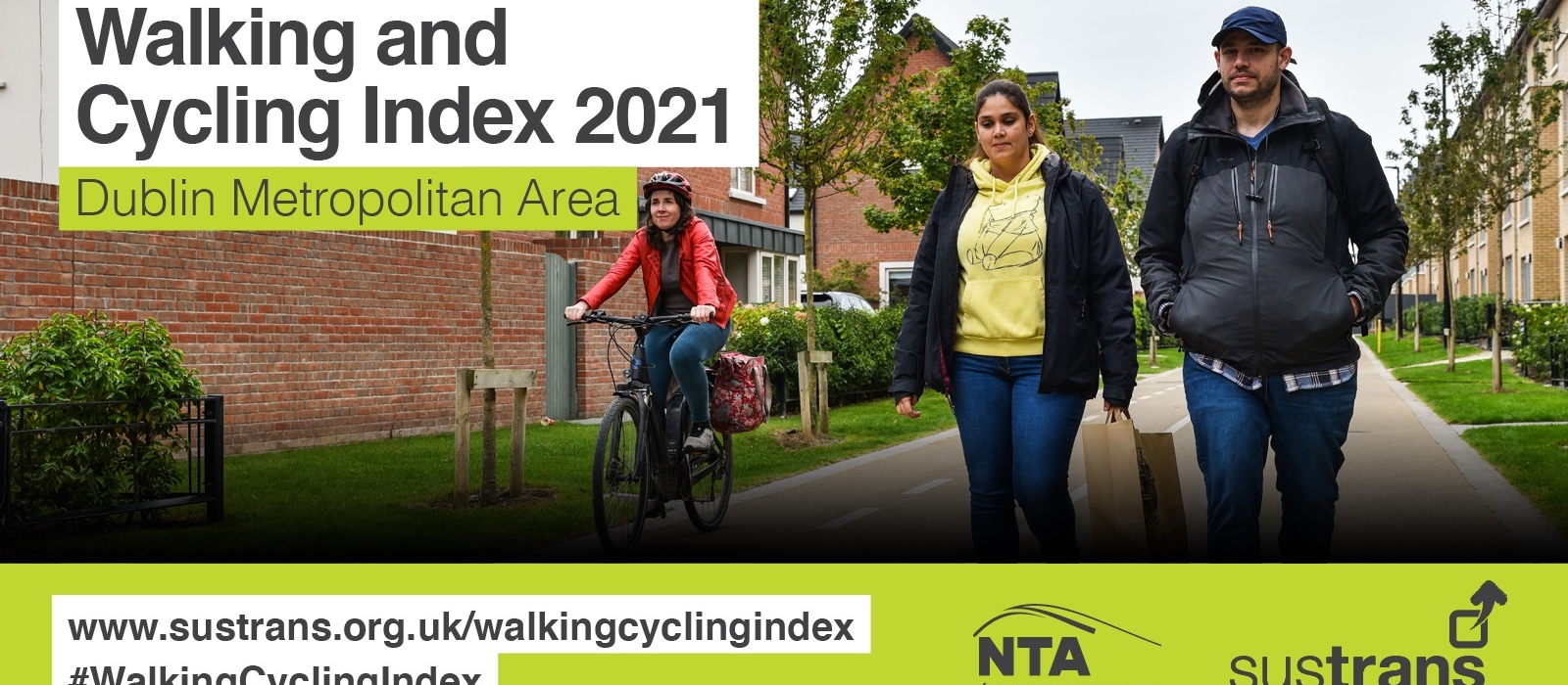
- Walking and Cycling Index 2021 Dublin Metropolitan Area
- Walking and Cycling Index 2021 Dublin Metropolitan Area IRISH
Background Documents:
For summary of the overall Bike Life methodology see Data Sources and Methodologies.
For details on the residents survey see Bike Life Survey Questionnaire
Mapping
BikeLife Final Data Issue V2 210817.zip contains the shapefiles for the mapping used to compile different lengths of different types of cycling infrastructure
NTA_BikeLife_Categorisation Methodology.pdf is the methodology used to create the map.
2019 Report:
View 2019 Report page here: Bike Life 2019 Dublin Metropolitan Area